We are honored to be nominated for the 2024 Best of Georgia Awards! We would…

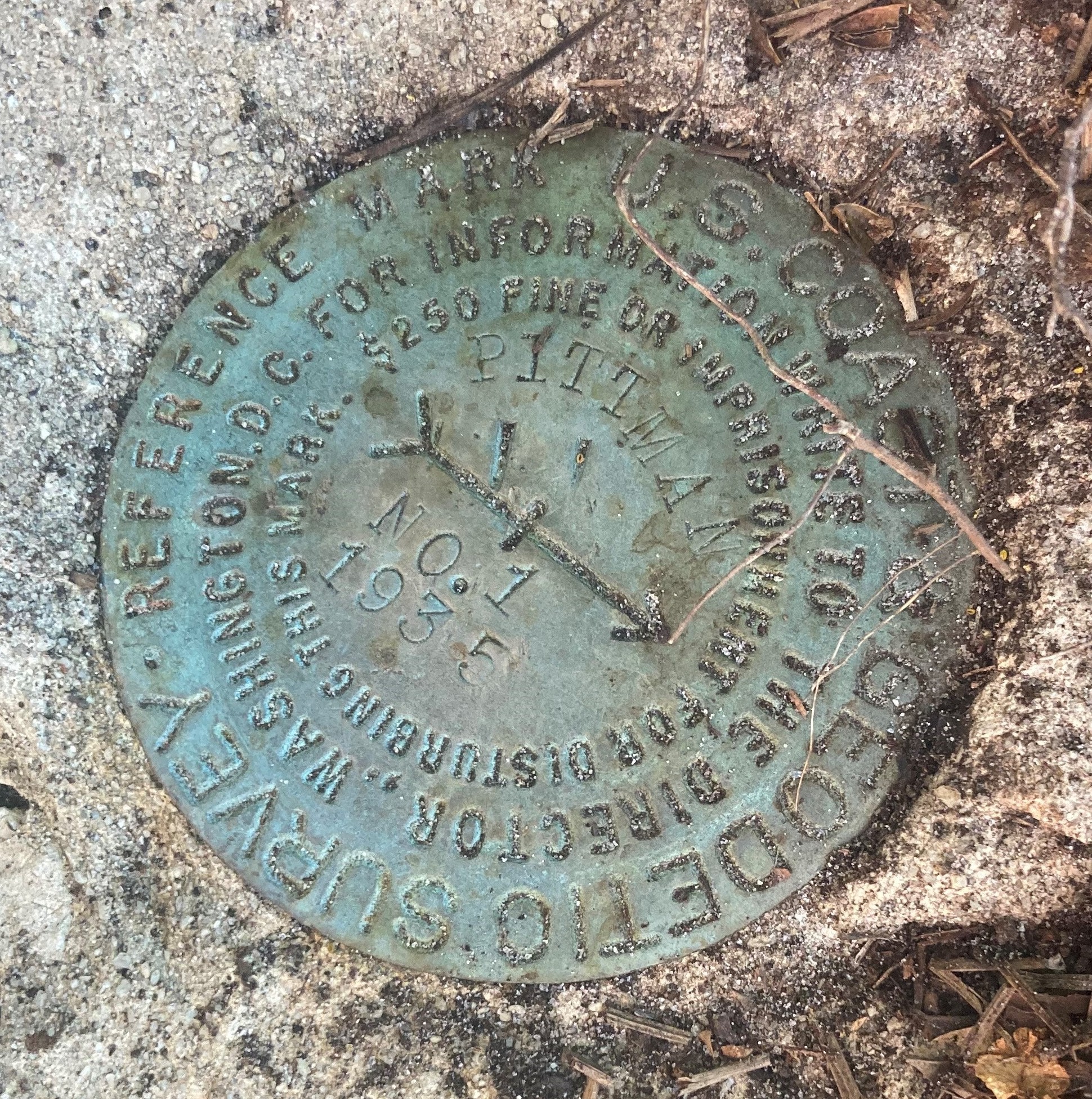
As we celebrate National Surveyors Week this week, we’re curious, did you know that the National Geodetic Survey was established as the Survey of the Coast by President Thomas Jefferson in 1807 – the nation’s first civilian scientific agency with a mission to survey the US coastline and increase maritime safety. The agency grew with the county, extending surveys westward and becoming the US Coast and Geodetic Survey until 1970 when it was renamed the National Geodetic Survey as part of the National Oceanic and Atmospheric Administration.
As part of our survey work, our field crews locate National Geodetic Survey monumentation when the monuments are in close proximity to the sites we are surveying. This helps provide a consistent coordinate system for position, elevation, distance and direction between points and how these values change over time.


